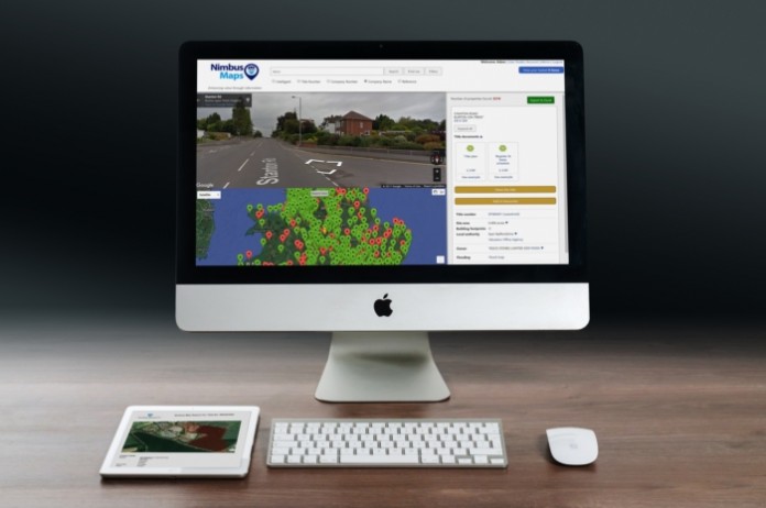
A powerful new data set has been added to Nimbus Maps
Nimbus Property Technology’s Nimbus Maps, their cloud-based property intelligence tool, as part of its continual development plan, has once again been upgraded. Probably the most important data set so far – Planning – is now available in Nimbus Maps. Initially we are Beta testing the 39 Boroughs of London, but will shortly be rolling this out across England and Wales.
Located in the Filters section, simply click on the Display Planning option and then in the Date From option select the year you need to search from; the default date in 2011. Once selected the rest of your filter options, all sites with planning will be displayed as yellow polygons in the map.
Click on the yellow area and all the detailed planning information is in the right-hand panel. Clicking on a record in the right-hand panel takes you directly to the relevant council’s Planning portal in a new window.
The records will be updated daily so you can rest assured that you are getting the most up-to-date information.
If you have any questions about the new Planning data, please feel free to give the Nimbus Maps customer care team on 0330 088 3513 or email [email protected]
Take a look at our video on how to use the new Planning Beta tool.
More than just a search engine on steroids, Nimbus Maps has real, quantifiable data that is fast becoming the property intelligence tool for the industry. A cloud-based platform that is used to pre-qualify a site with due diligence needs without leaving your desk. Alternatively, though our bespoke team you can, based on your search criteria, create powerful intelligence for serious off-market hunting.


